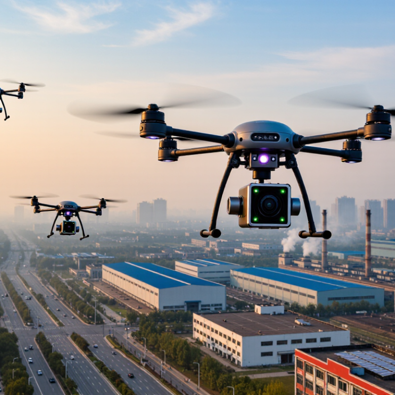
Multirotor drones suit close-range checks around factories, road corridors, and landfill edges. They can hover beside a stack or follow a short route, giving operators time to compare readings at several heights. Choose payloads based on the target: optical particle sensors for particulate matter, or gas-specific instruments for pollutants such as ozone and nitrogen dioxide. Payload weight and rotor wash can affect measurements. That detail is easy to underestimate.
Fixed-wing drones cover broader areas more efficiently. They fit regional surveys over farms, wildfire-affected land, or large industrial zones, where long transects matter more than hovering. The World Health Organization’s 2021 air quality guidelines set the annual PM2.5 guideline at 5 µg/m³, half the previous level. At these low concentrations, buyers should check instrument detection limits and calibration records, not just advertised flight range.
Tethered multirotors can support longer observations at a site, such as tracking changing conditions near a construction boundary. They offer less coverage and need a safe, unobstructed operating area. For any type, log wind speed, altitude, location, and sampling time alongside pollutant readings. EPA’s 2022 Enhanced Air Sensor Guidebook emphasizes evaluating sensors for their intended use and data quality. Drone measurements are useful, but they are not automatically comparable with reference-station data; some field setups still need better validation.